

 The Point of Beginning
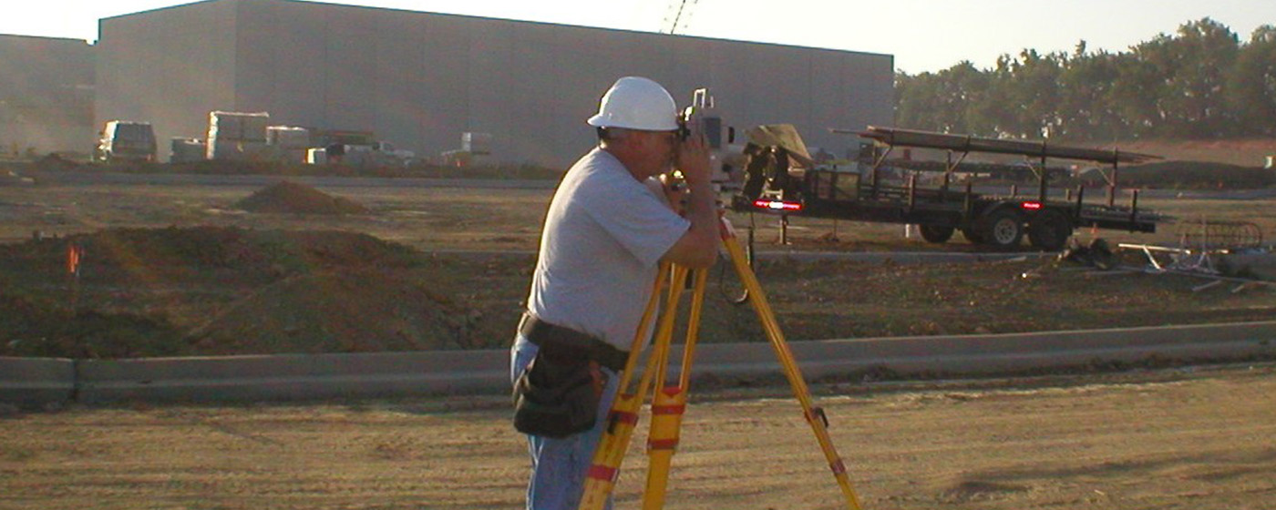
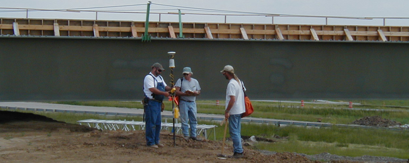
Land surveying is the cornerstone of Anderson Survey Company's practice. Often misunderstood, the act of surveying may appear simple, but the actual task is infinitely more complex. The early days of transits, rods and chains gave way to total stations, GPS equipment, AutoCAD, robots and drones. Today's surveyor must be familiar with technical procedures, as well as the legal aspects of real property boundaries.
In the early 1800's, the state of Missouri was invaded by a hardy, tough group of men. They were government surveyors assigned the staggering task of dividing the State of Missouri into six-mile square townships, and those townships into one- mile square sections.
Carrying stakes, tapes, chains, and compasses while riding horses, mules and wagons, they came into the hamlets and hills of south Missouri, the rolling flat lands of the north and through streams and rivers. Their measurements and compass readings began to form a checkerboard pattern that stretched the length and width of the entire state.
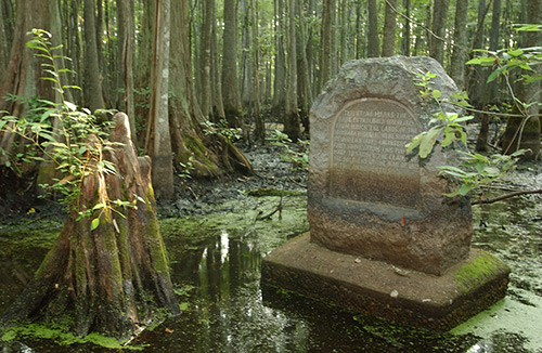
This is the initial point, originally set by government surveyors in 1815 and now commemorated with this stone, which represents the point of beginning for which all surveys in Arkansas, Iowa, Minnesota, Missouri, North Dakota and South Dakota are based.
Lots are described as single parcels created by a survey, or subdivision plat and the subsequent recordation of that survey or plat. A lot survey will identify and document the exact boundaries of a specific parcel. This type of survey must be performed in compliance with the “Missouri Standards for Property Boundary Surveys.” The drawing will show property boundary lines, boundary markers, corners, plat dimensions, lot numbers, blocks, easements, rights-of-way, encroachments and existing structures.
A Lot survey is commonly used for real estate transactions, title and mortgage requirements, confirming boundaries prior to property improvements and resolving boundary disputes.
Many times, metes and bounds parcels are created without the benefit of a recorded survey, and oftentimes without any type of survey at all. The boundaries are described in metes (specific measurements) and bounds (physical features of adjoining properties.) This type of survey usually requires extensive research and field work. The description of the parcel will start at a point of beginning (POB) and trace the perimeter following the metes and bounds description until it returns to the POB. It must be performed in compliance with the “Missouri Standards for Property Boundary Surveys” and the drawing will show measurements and natural or man-made features.
A Metes and Bounds survey is commonly used for irregularly shaped parcel and rural land not part of a subdivision.
A Subdivision survey divides a larger parcel of land into new, smaller parcels or lots. The land surveyor is required to survey the boundary of the parent tract, and then produce a plat that shows the subdivision of the parent tract. This subdivision will show boundary measurements of the parent tract, creation of new lot lines, placement of monuments, easements, rights-of-way, roads, access points, possible setbacks, lot numbers, area, and legal description for each new parcel. Additionally, Subdivision must meet other requirements set forth by local and state government agencies. A Subdivision plat must be recorded in the local Recorder of Deeds office and conducted in compliance with the “Missouri Standards for Property Boundary Surveys.”
A Subdivision survey is necessary to legally divide property for sale, development, or transfer of ownership.
A Topographic Survey is a graphic representation of the natural and man-made physical features of the land. The drawing will depict fences, buildings, utilities, hills, valleys, streams, lakes, roads, etc. While boundary information is necessary for improvement projects, the concentration is on the terrain and surface details.
This type of survey is generally used for mapping, site planning, design, drainage and grading plans, improvement projects, engineering, architectural and construction projects.
(American Land Title Association/National Society of Professional Surveys)
An American Land Title Association/National Society of Professional Surveys (commonly known as an ALTA survey) is the most comprehensive type of survey. It covers all aspects of a boundary survey, includes improvement locations, easements, rights-of-way, access points, zoning compliance and the identification of any additional evidence of possession or use which could be adverse to the interests of the purchaser. An ALTA survey follows strict standards set jointly by ALTA and NSPS, which makes it more thorough than a typical survey.
An ALTA survey is commonly used in commercial real estate transactions when lenders or insurers need a high level of property detail.
An accident survey is a formal, systematic depiction of an accident scene. Natural and man-made features are recorded such as vegetation, roads, streams, light poles, railroad crossings, rocks, etc. The land surveyor’s goal in an accident survey is only to physically reproduce the scene rather than provide an opinion on hazards or recommending preventive measures.
This type of survey is commonly used by law firms and insurance companies in preparation of lawsuits.
An As-Built Survey is conducted after construction or improvements have been completed to document the exact location, dimensions, and conditions of structures, utilities and other features as they were actually built, rather than as they were originally planned in the design drawings. The deliverable for this type of survey is an extremely detailed drawing depicting “what is” versus “what was designed.”
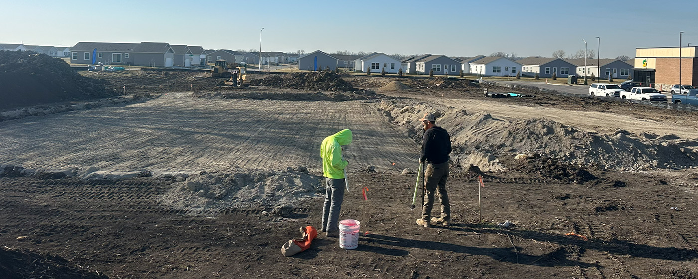
Construction staking is the process of placing physical markers on a construction site to guide the building of structures according to approved plans. Whether wooden stakes, flags or nails are placed, these markers instruct contractors with erection information such as elevation, grid coordinates or offsets. In short, it translates the project’s design from drawing into reality.
This type of survey is conducted to provide detailed information necessary for the planning and design of a construction project. It focuses on collecting precise data about the existing conditions of a site to develop and finalize engineering or architectural design plans. It will include topography, existing features, utilities and site constraints. Knowing site conditions assists the engineer or architect in designing safe and efficient plans to avoid surprises during construction.
A settlement/monitor survey is a specialized type of survey used to measure and track vertical or horizontal movements of structures or the ground over time. These surveys are critical where construction, excavation, or soil changes could affect the stability of improvements, infrastructure and natural features. Using precise instrumentation, a settlement/monitor survey will provide data on the rate and magnitude of settlement allowing parties to make informed decisions to ensure safety and structural integrity over time.
Used primarily in real estate and land development, this is a map or drawing that shows the location, extent, and nature of easements and utilities on a parcel of land. It is used to identify legal rights, assist in planning and support transactions. These exhibits prevent construction over restricted areas, and ensures compliance between local authorities and utility companies. Additionally, utility and easement exhibits are necessary to establish any new easement.